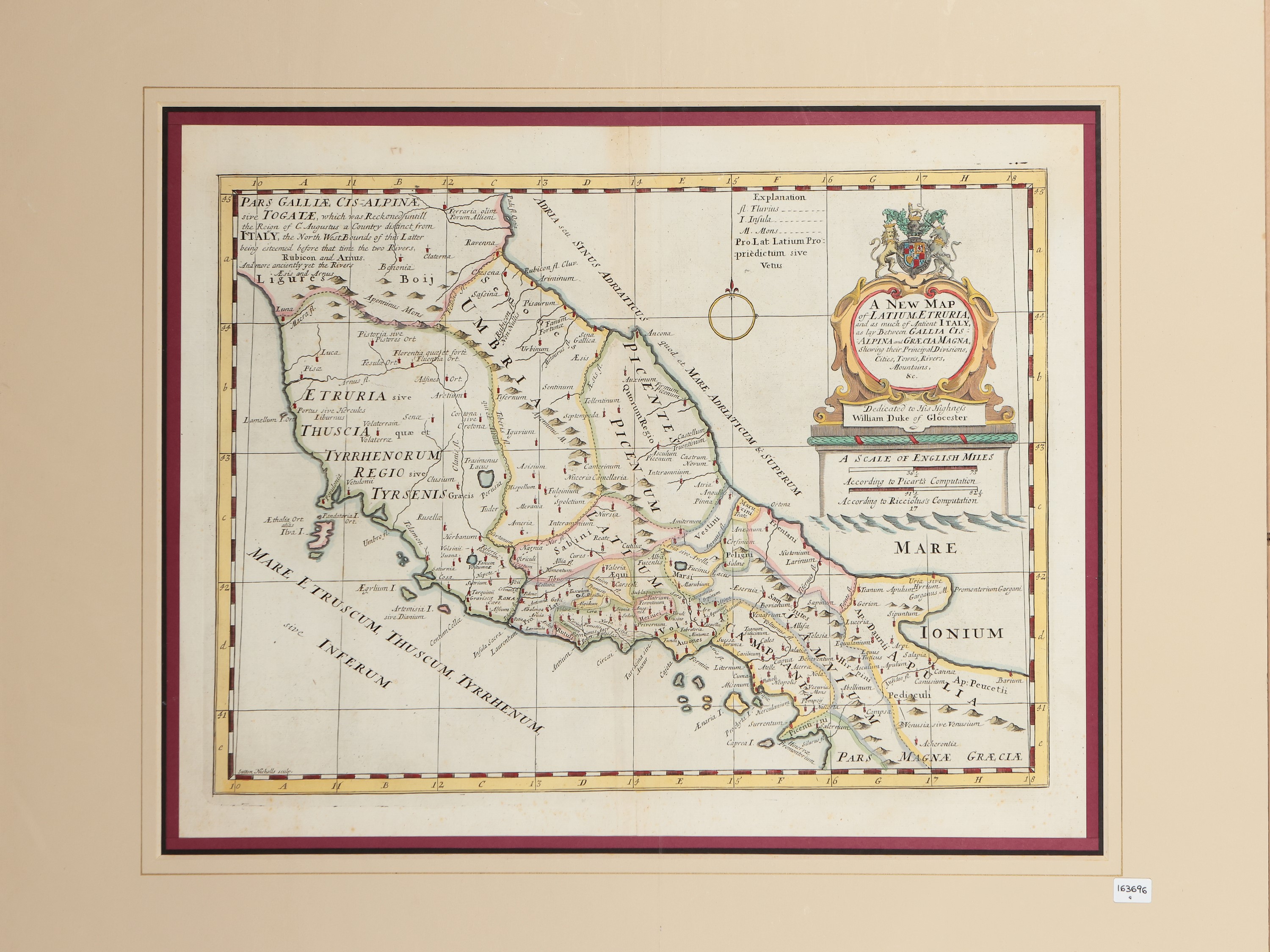
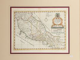

Lot N. 2
Edward Wells (1667 - 1727)
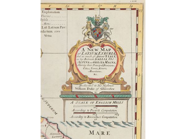
A New Map of Latium, Etruria and as much of Antient [Ancient] Italy (1700)
as lay Between Gallia Cisalpina and Graecia Magna, Shewing their Principal Divisions, Cities, Towns, Rivers, Mountains & Dedicated to His by him. Highness William Dike of Glocester.
Copper engraving, watercoloured, with title and dedication within an elaborate cartouche, with passe-partout
matrix 38x50 cm, passe-partout 63x74 cm
Sutton Nicholls sculp.
From A New Sett of Maps Both of Antient and Present Geography by Edward Wells, Oxford, 1700